Naturalwallpapers
Monday, 8 August 2011
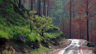
Astore, Pakistan. The entrance of the valley is located about 60 km southeast of Gilgit with four side-valleys. The majority of people practice subsistence agriculture and livestock is the main source of livelihood complemented by seasonal work in down districts of the country. Due to its diverse landscape and climatic conditions the valley provides excellent habitat for a variety of commercially important medicinal plants.
"Arror Rock" [near Rohri in Sindh] The shape of rock was caused by unknown natural forces. There is also a Shrine on the top. In France, there is a famous similar shaped rock on sea shore caused by huge water waves but in the middle of barren Arror - such a shape is an Amazing Wonder. Near this wonder, there are ruins of Bin Qasim Masjid [First ever Masjid built in Subcontinent; during reign of Muhammad Bin Qasim]
Subscribe to:
Posts (Atom)


